Drive mountain passes and alpine corridors across Austria
Elevation data, seasonal opening schedules, toll structures, and practical vehicle handling guidance for navigating Austria's steepest switchbacks and high-altitude transits.
Operating Parameters
Elevation profiles and mechanical demands of pass driving
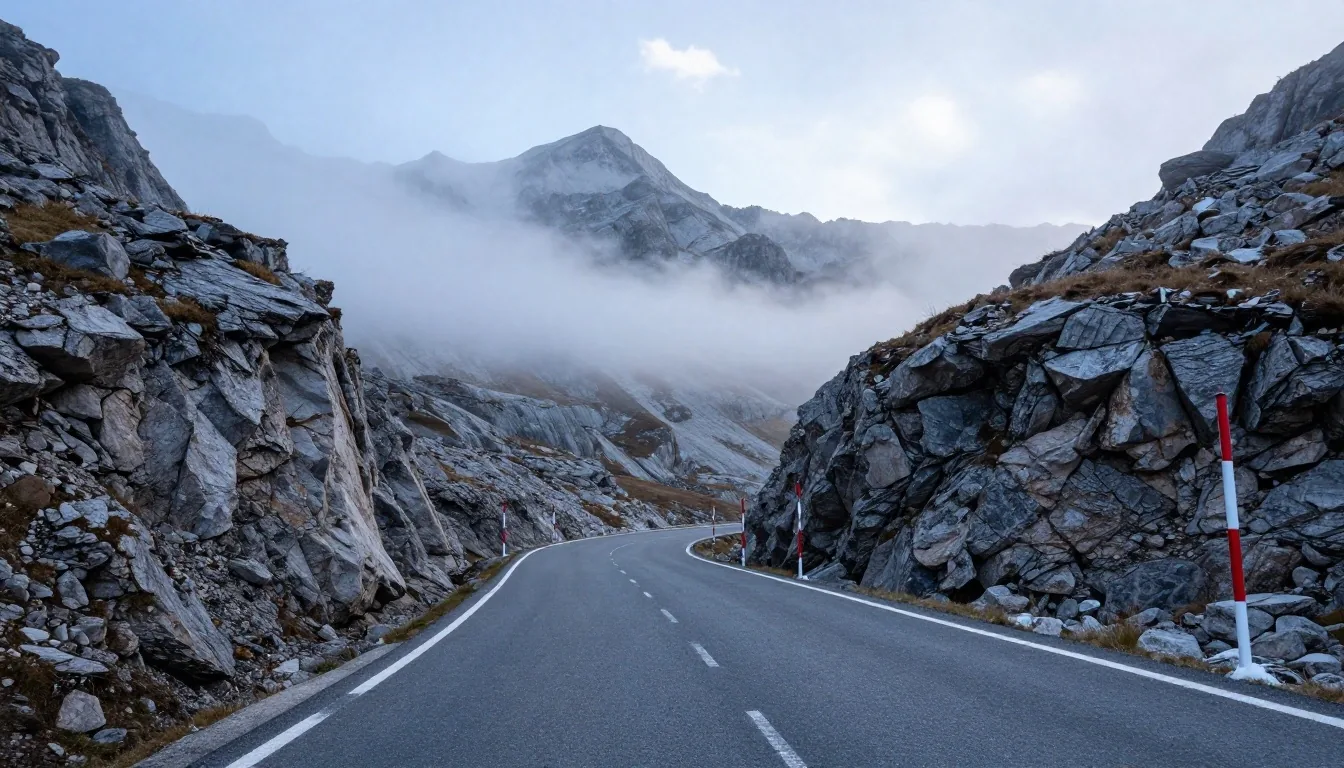
Driving across Austria's mountain passes delivers some of the most striking scenery in Europe, combined with severe technical demands on drivers and vehicles alike. Narrow two-lane asphalt ribbons ascend steep valley heads, negotiate stacked hairpin switchbacks, and reach heights where weather conditions shift from sunshine to driving snow within minutes.
Highest paved road link through the Austrian High Tauern.
Sustained transmission load and descent braking strain.
Continuous low-speed turning locks on northern ramps.
Standard seasonal shut for high-altitude passes.
Engine & Cooling Strain
Ascents up ten to fifteen percent gradients demand continuous power delivery, causing coolant and transmission oil temperatures to rise rapidly, especially when towing or carrying heavy luggage. Monitor thermal gauges closely and turn off air conditioning during high-load climbs if temperatures spike.
Gearbox Hunting & Manual Lock
Modern automatic transmissions frequently hunt for gears across steep incline changes. Drivers should manually lock lower gears (2nd or 3rd) to prevent torque-converter overheating on ascents and to actively utilize engine compression on steep descents.
Brake Thermal Fade Protection
Relying solely on foot brakes during prolonged downhill descents overheats pads, boils brake fluid, and leads to sudden brake fade. Apply hard, decisive braking to reduce speed, then release to let rotors cool, rather than riding the pedal continuously.
Prominent Austrian mountain passes
Operating rules, seasonal dates, and road classifications for the major alpine transit corridors across Salzburg, Tyrol, Carinthia, and Vorarlberg.
Grossglockner High Alpine Road (Großglockner Hochalpenstraße)
The Grossglockner High Alpine Road is Austria's most famous panoramic mountain highway, connecting Bruck in Salzburg province with Heiligenblut in Carinthia. Reaching an elevation of 2,504 meters at the Hochtor pass tunnel, the road spans 48 kilometers with 36 numbered hairpin turns. This is a private toll road requiring a dedicated day ticket; it is entirely separate from the national Autobahn vignette system. The road generally opens from early May to late October or early November, closing completely during winter under heavy snowpacks.
Timmelsjoch High Alpine Road (Passo del Rombo)
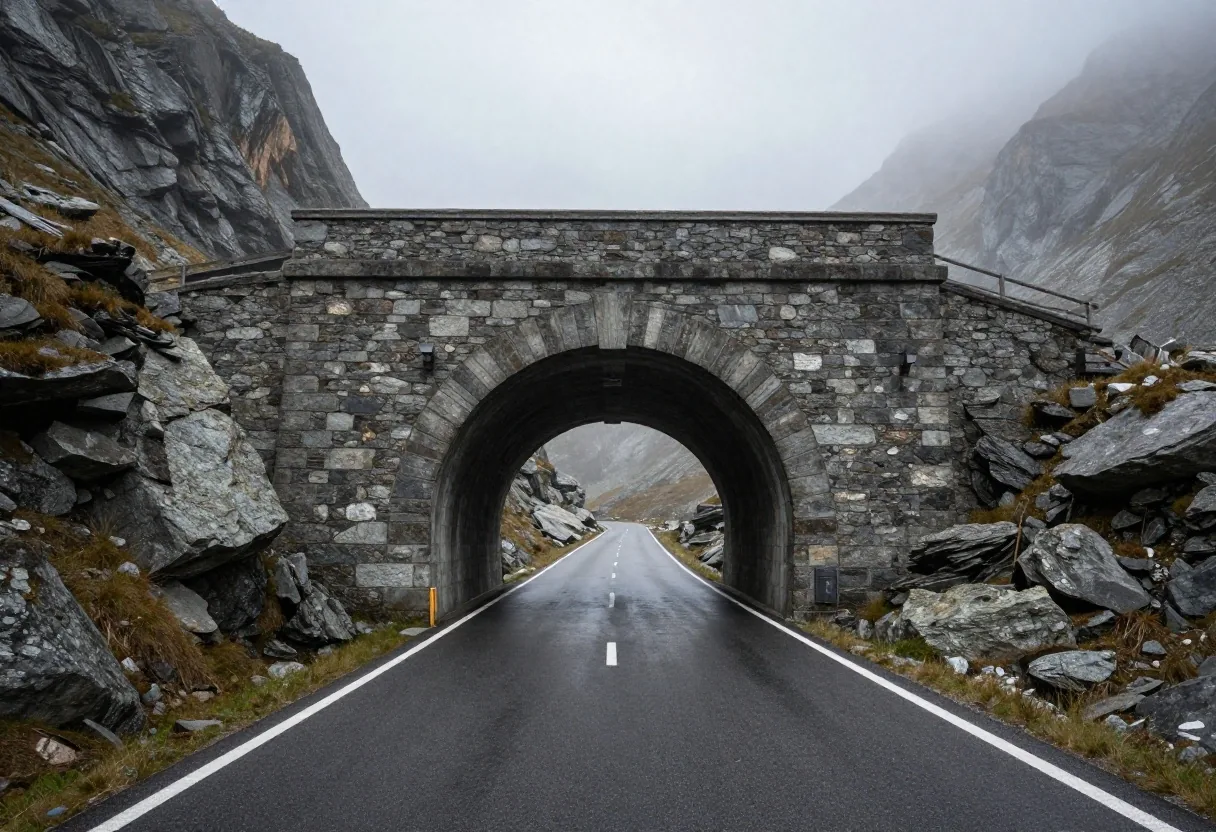
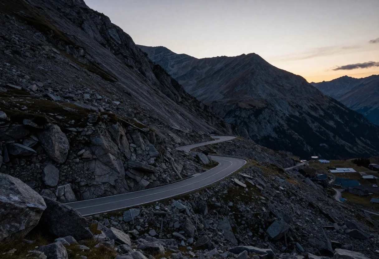
Rising to 2,474 meters, the Timmelsjoch connects the Ötztal valley in Tyrol with the Passeier Valley in Italian South Tyrol. Known as the secret passage between Austria and Italy, this dramatic route features a continuous climb past dramatic glaciers and deep gorges. The Austrian approach is wide and well-engineered, whereas the Italian side descends through steep, unlit narrow tunnels and tight cliffside switchbacks. The Timmelsjoch operates as a private toll road with seasonal operations running strictly from late May or early June through mid-October.
Arlberg Pass (B197)
The surface alternative to the Arlberg Tunnel
The Arlberg Pass sits at an elevation of 1,793 meters, providing the historic overland link between Tyrol and Vorarlberg. Unlike private panoramic highways, the B197 is a public federal road requiring no special pass toll, making it a viable alternative to the S16 Arlberg Road Tunnel. The pass road features gradients up to twelve percent and remains open year-round, weather permitting. However, during heavy winter snowfalls, authorities regularly mandate snow chains for two-wheel-drive vehicles or temporarily shut the road for avalanche clearing.
Silvretta High Alpine Road
Connecting Montafon and Paznaun
The Silvretta High Alpine Road links Partenen in Vorarlberg with Galtür in Tyrol, climbing to 2,037 meters at the Bielerhöhe summit overlooking the Silvretta reservoir. Featuring 34 hairpins on its western ramp, the road offers panoramic views of Piz Buin and adjacent glaciers. The route operates as a seasonal toll road open between June and October. Due to narrow sections and steep hairpins, caravans and vehicles over 3.5 tonnes face access restrictions, making it an exclusive corridor for passenger cars, motorcycles, and cyclists.
Felbertauern Road
The weather-resilient central corridor
The Felbertauern Road (B108) provides an indispensable north-south link through the Hohe Tauern range, connecting Mittersill in Salzburg with Lienz in East Tyrol. Rather than ascending over high exposed ridges, the route utilizes the 5.3-kilometer Felbertauern Tunnel at an elevation of roughly 1,600 meters. This engineering design makes the private toll road accessible year-round, offering a scenic and dependable alternative to the A10 Tauern Autobahn when highway tunnels face holiday traffic gridlock.
Gerlos Alpine Road
Bridging Salzburg and Tyrol via Krimml
The Gerlos Alpine Road (B165) crosses between Krimml in Salzburg and the Zillertal valley in Tyrol, rising to 1,630 meters above sea level. Passing directly above the Krimml Waterfalls, the highest waterfalls in Central Europe, the road features smooth sweeping curves and broad two-lane asphalt. It operates as a year-round toll road managed by the Grossglockner High Alpine Road company. The gentle grade makes it popular for family touring vehicles, though winter conditions still demand proper snow tires.
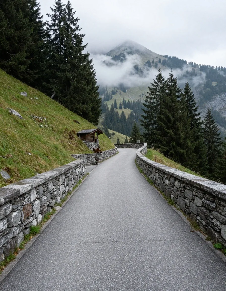
Transit Rule: Priority Protocol
Utilize marked paved turnouts (Ausweichstellen) to yield gracefully.
Driving etiquette and passing conventions on mountain roads
Alpine driving adheres to unwritten safety rules alongside formal Austrian road traffic regulations (StVO). Mountain passes possess unique physical restrictions where failure to cooperate leads to mechanical gridlock or hazardous situations.
Uphill Traffic Right of Way
Uphill vehicles generally have priority on narrow passages where two cars cannot pass at once. Stopping and re-accelerating on a twelve to fifteen percent grade causes clutch burn and mechanical stress, whereas downhill vehicles can stop and reverse more easily into turnouts.
Active Use of Paved Turnouts (Ausweichstellen)
If a line of faster vehicles or local motorists gathers behind you, use paved turnouts or wider straight sections to signal and pull over briefly. Never brake abruptly in a hairpin to let someone pass; wait for a designated turnout.
Dipped Headlights in Sun & Shade
Always keep dipped headlights turned on, even during midday sunshine. Contrast against dark limestone walls and shadowed rock galleries makes unlit vehicles nearly invisible to oncoming motorists rounding tight switchbacks.
High-elevation weather hazards and rapid shifts
At elevations exceeding 2,000 meters, mountain weather operates independently of valley conditions. A warm 22°C summer afternoon in Innsbruck can turn into a 2°C sleet storm with dense cloud cover at the summit of the Timmelsjoch within forty minutes. Sudden morning frost (Reif) creates invisible ice patches inside shaded rock cuts and across elevated bridge spans.
Motorists should always carry warm clothing, sturdy footwear, extra drinking water, and fully charged mobile devices before embarking on high-altitude passes, regardless of valley forecasts.
- Black Ice (Reif): Sub-zero dew points freeze moisture on bridge decks and shaded northern rockfaces.
- Gale-force Föhn Winds: Strong gusting wind shear across elevated viaducts and open summits destabilizes high-sided vehicles.
- Zero-Visibility Cloud Cover: Sudden orographic fog reduces visual sightlines to under ten meters within seconds.
Cyclists, livestock, and mountain hazards
During summer months, Austrian alpine passes attract thousands of road cyclists, motorcycle touring groups, and vintage sports cars moving at vastly different speeds. Safe coexistence requires heightened awareness of non-vehicular traffic and agricultural operations.
1.5m Cycling Clearance
Give cyclists at least 1.5 meters of lateral clearance when passing. If oncoming traffic restricts sightlines, wait patiently behind them. On descents, cyclists often reach speeds of 60 to 70 km/h; do not overtake immediately before a switchback apex.
Open Pastures & Almen Cattle
In agricultural regions across Tyrol, Salzburg, and Carinthia, dairy cows and sheep roam freely across unfenced alpine pastures (Almen). Cattle frequently stand on warm road asphalt in early mornings; slow down when approaching cattle grids or open pasture gates.
Rockfall & Gravel Washouts
Heavy summer afternoon downpours wash fine granite gravel and loose stones onto corner apexes. Loose stones reduce tire traction substantially. Approach tight downhill turns cautiously after precipitation to avoid mid-corner understeer.
Frequently asked questions about Austrian alpine passes
Do Austrian Autobahn vignettes cover private high alpine roads?
No. High alpine passes such as the Grossglockner High Alpine Road, Timmelsjoch, Silvretta High Alpine Road, and Felbertauern Road are privately operated toll corridors. They require independent single-trip or day toll tickets purchased at road entry toll barrier stations. The standard ASFINAG Autobahn vignette applies exclusively to federal motorways (A-roads) and expressways (S-roads).
When do seasonal high alpine passes typically open and close?
Opening and closing dates vary based on winter snowfall volume and avalanche risk. Generally, passes exceeding 2,000 meters (such as Grossglockner, Timmelsjoch, and Silvretta) open in mid-to-late May or early June, and close between mid-October and early November. In contrast, lower or tunnel-assisted passes like the Arlberg (B197) and Felbertauern (B108) remain open year-round, barring emergency avalanche clearing operations.
Are caravans and heavy motorhomes permitted on high passes?
Restrictions depend on the specific road. The Silvretta High Alpine Road strictly bans caravans and vehicles exceeding 3.5 tonnes maximum gross weight due to tight hairpin radii. The Grossglockner permits motorhomes, but towing caravans over 750 kg is strongly discouraged due to sustained fifteen percent inclines. Always verify corridor limits in our route planner before setting out.
What should I do if my engine coolant temperature gauge rises rapidly?
Immediately turn off your vehicle's air conditioning system and switch the cabin heater and blower fan to maximum heat. This acts as an auxiliary radiator, drawing excess thermal load away from the engine block. If the temperature needle continues into the red warning zone, pull safely into the next paved turnout, leave the engine idling for two minutes to circulate coolant, and then shut it off. Never open a hot radiator cap.
Plan your alpine transit corridor route
Calculate pass transit times, check real-time seasonal status notes, and verify vignette or private toll requirements across all Austrian alpine routes before driving.