
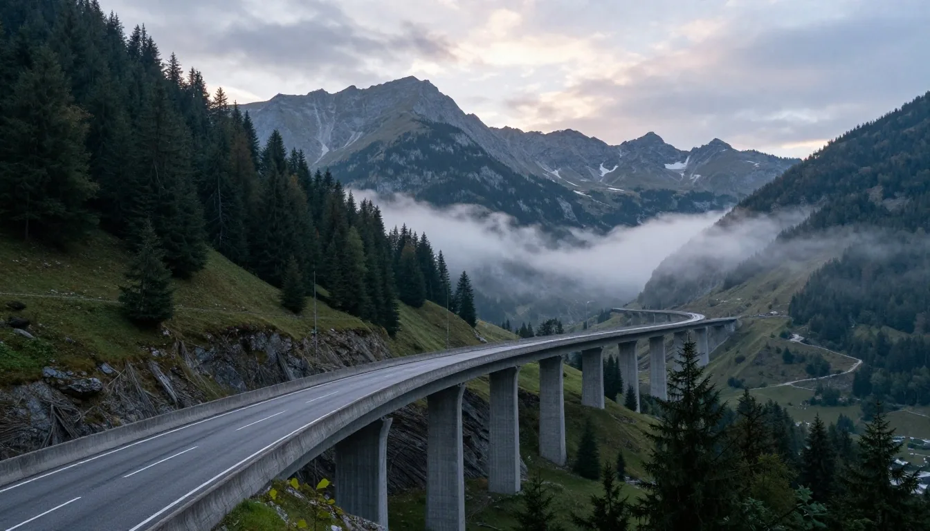
Plan driving routes across Austrian provinces and transit passes
Effective route planning through Austria requires balancing motorway speeds against narrow mountain elevation profiles, weather windows, and province-specific transit restrictions. A direct geometric line across the map often conceals three mountain passes, a seasonal closure, or heavily congested tunnel corridors. VigneteRey provides practical routing strategies to help cross-border travelers and vacationers evaluate travel times, regional terrain, fuel stops, and toll requirements between major provincial hubs.
Topographical realities and transit corridor selection
Austria's geography is dominated by the Alps, which cover more than sixty percent of its national territory. When driving between eastern hubs like Vienna or Graz and western valleys in Tyrol or Vorarlberg, your route selection must account for Alpine terrain barriers