
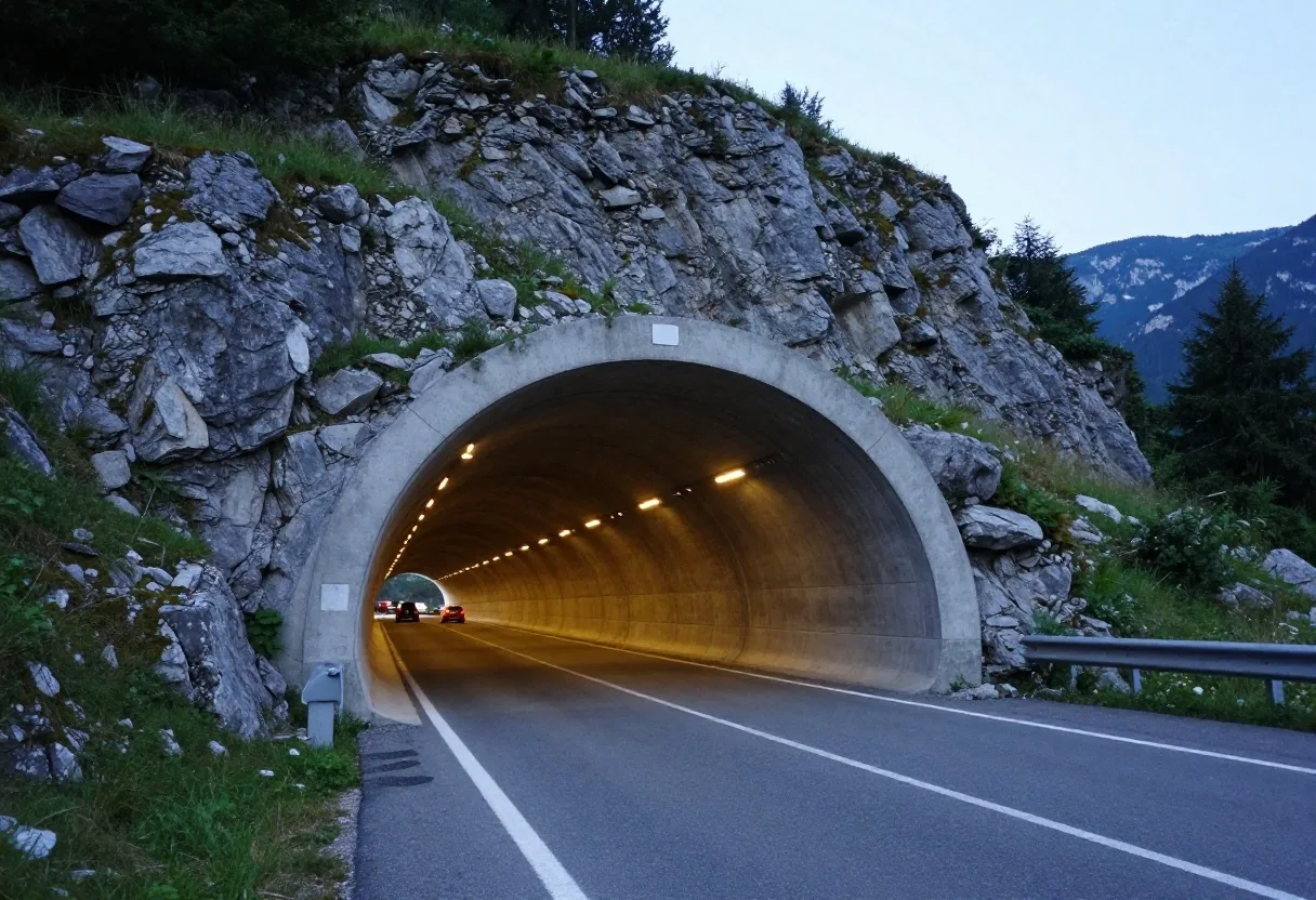
Explore the Austrian Autobahn and expressway motorway network
Austria maintains over 2,200 kilometers of high-capacity motorways (Autobahnen) and expressways (Schnellstraßen) managed by the federal infrastructure operator ASFINAG. Engineered across sheer mountain topography, this network relies on specialized tunnel complexes, elevated valley viaducts, and perimeter bypasses to move domestic and cross-border transit seamlessly.
The structural backbone of the Austrian road system
High-capacity routes are engineered for extreme seasonal weather and strict safety thresholds across federal provinces.
Austrian high-capacity roads are divided into two primary classifications: Autobahnen (designated with an "A" prefix) and Schnellstraßen (designated with an "S" prefix). Both classifications require an active motorway vignette or specialized electronic truck toll tracking (GO-Box for vehicles over 3.5 tonnes).
Schnellstraßen feature grade-separated multi-lane alignments built to Autobahn standards, although some mountainous stretches may feature single-lane tunnel bores or lower speed limits. Federal signage uses blue directional boards for all motorways and expressways, distinguishing them from regional green-signed federal highways (Bundesstraßen).
Autobahnen (Motorways)
Full multi-lane dual carriageways, 130 km/h default standard, continuous emergency breakdown shoulders.
Schnellstraßen (Expressways)
Express pass connections and valley links, 100–130 km/h baseline, identical vignette enforcement.
Federal ASFINAG Operational Network
Every section of the Austrian motorway grid is subject to automated optical enforcement. Camera gantries scan digital vignettes in real-time, while toll stations handle special stretch fees (Streckenmaut) across designated alpine tunnel gates.
Combined length of operational Autobahnen and Schnellstraßen corridors.
Continuous video surveillance and automated thermal safety portals.
Traversing Vienna, Lower Austria, Styria, and Carinthia to Italy.
Electronic variable signs adjust for wet weather, snow, and IG-L clean air.
Strategic Autobahn corridors connecting Austrian frontiers
Cross-border navigation across Austria relies on heavily reinforced mountain passes and river basin freeways. Review the primary operational routes below.
A1 Westautobahn: the primary east-west lifeline
The A1 Westautobahn extends approximately 292 kilometers, linking the capital city of Vienna with Salzburg and the German frontier at Walserberg. As Austria's oldest motorway corridor, the A1 features modern six-lane configurations across most of its length.
It serves as the primary route connecting the administrative, educational, and commercial centers of Lower Austria and Upper Austria, including St. Pölten, Linz, and Wels. Long-distance motorists appreciate the modern Raststation service areas along this route, though bridge renovation projects around Linz require close attention to lane markings.
Wien Auhof ↔ Salzburg / Walserberg (D)
Knoten Steinhäusl (A21), Voralpenkreuz (A8/A9)
A2 Südautobahn: connecting Vienna to Carinthia and Italy
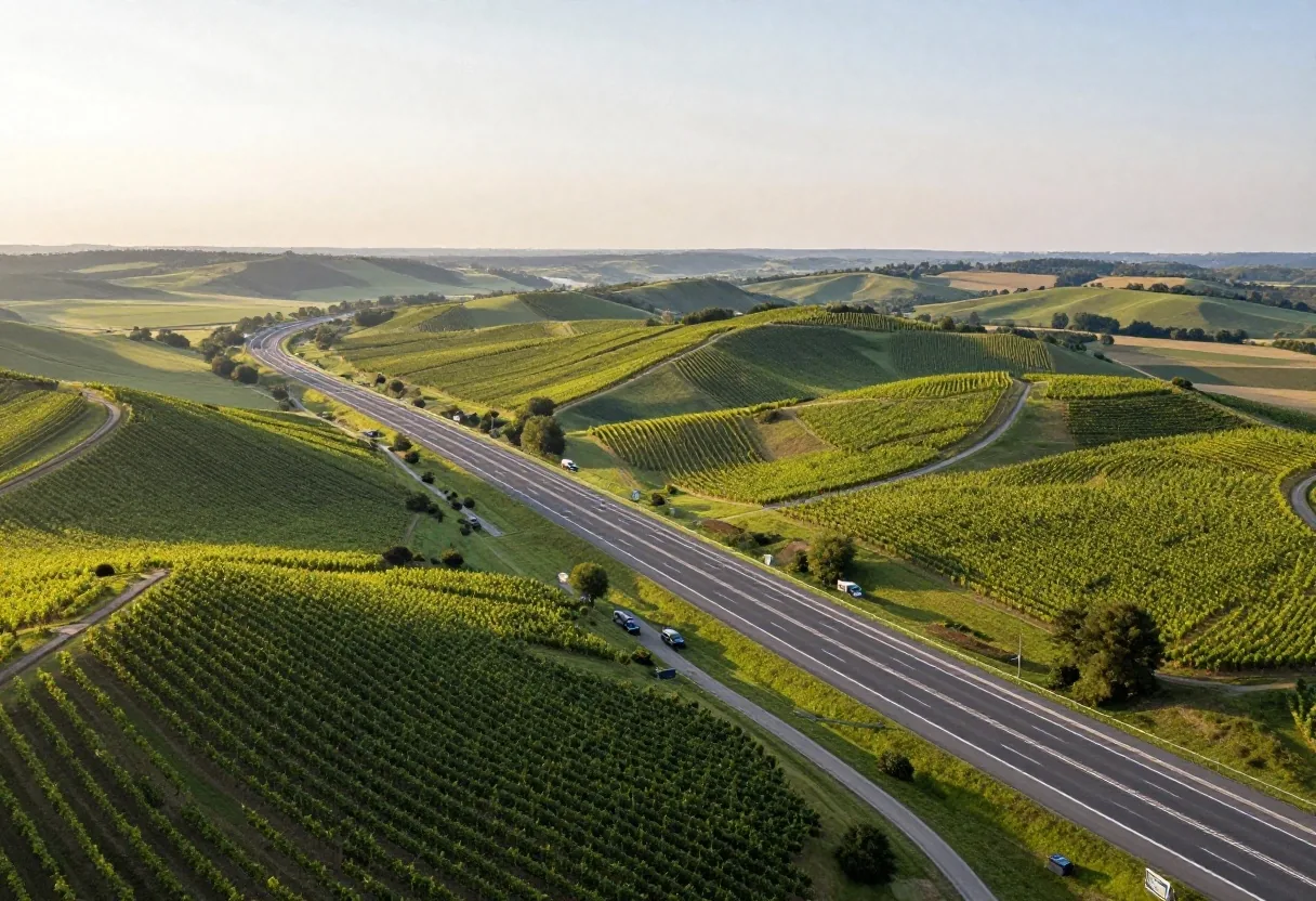
Covering roughly 377 kilometers, the A2 Südautobahn is the longest single motorway in Austria. It begins in southern Vienna, crosses the Wechsel mountain range into Styria, passes Graz, and continues westward through Carinthia past Klagenfurt and Villach to the Italian border near Arnoldstein.
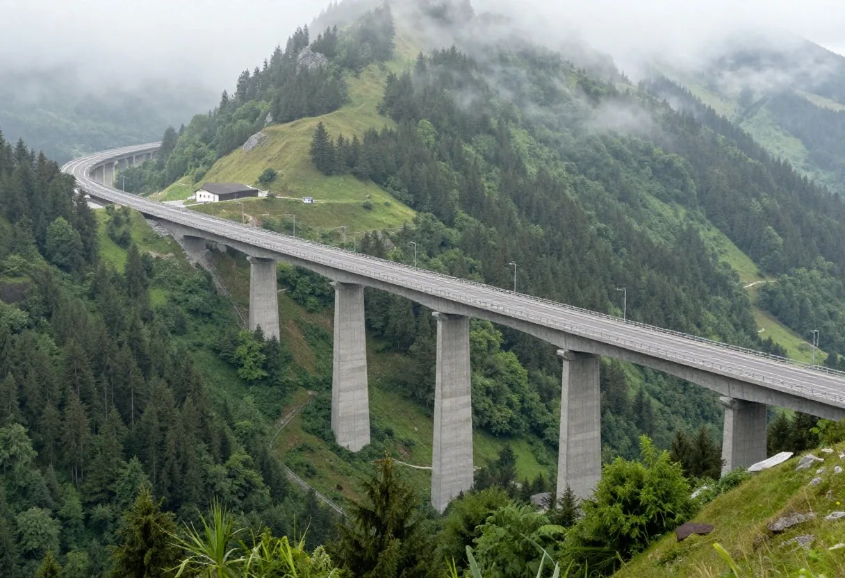
The route serves international freight running between Eastern Europe and the industrial hubs of northern Italy. Drivers on the A2 experience diverse terrain, moving from wide suburban three-lane sections south of Vienna to winding four-lane mountain viaducts through the Packalpe region.
Wechsel Pass (elev. 980m), Packalpe
Knoten Graz-West (A9), Knoten Villach (A10/A11)
A10 Tauern Autobahn: the central Alpine freight corridor
Running 186 kilometers from the Salzburg junction on the A1 to the Villach interchange on the A2, the A10 Tauern Autobahn cuts straight through the central Alps. This highway features extraordinary civil engineering, highlighted by the Tauern and Katschberg tunnels, which overcome high mountain passes that once required treacherous surface climbs.
The A10 experiences severe holiday transit surges during winter ski seasons and summer vacation migrations. Speed limits are strictly enforced via automated overhead cameras and radar systems inside tunnel bores.
Electronic video tolling gates allow pre-paid barcode passage without stopping at physical booths.
Trans-Tyrolean routes and the Pyhrn gateway
Operating under unique environmental air quality legislation (IG-L) and dedicated toll structures.
A12 Inntal and A13 Brenner corridors in Tyrol
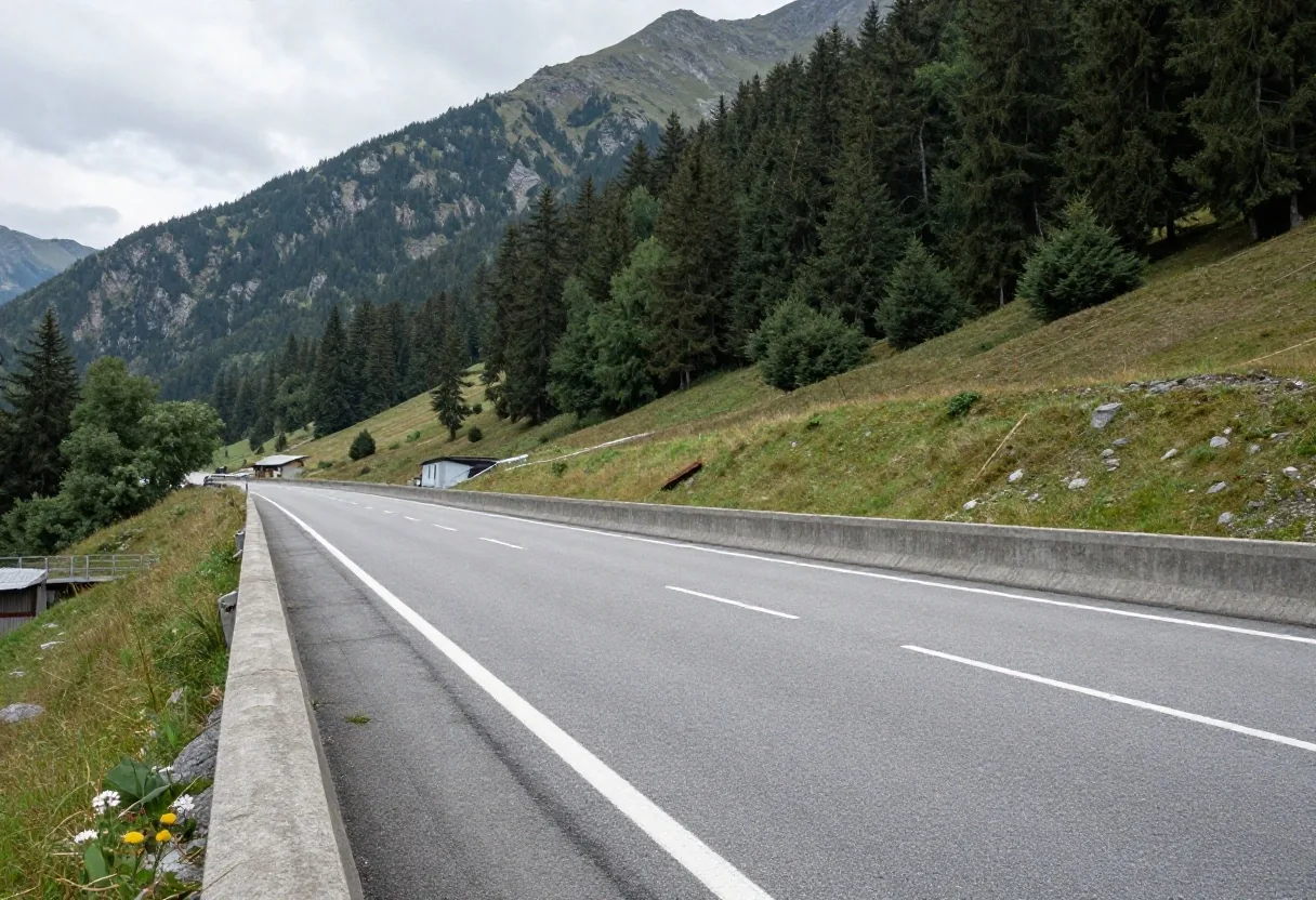
The A12 Inntal Autobahn runs west from the German border near Kufstein through the Inn Valley, connecting Wörgl, Innsbruck, and Landeck. At Innsbruck, the A13 Brenner Autobahn branches south, climbing steadily up the Wipptal to the Brenner Pass at the Italian border.
Together, the A12 and A13 handle the heaviest volume of freight transiting between central Germany and northern Italy. The A13 does not require a standard vignette; instead, it operates under an independent distance-based Streckenmaut toll structure payable per trip.
A9 Pyhrn Autobahn: the southeastern Alpine gateway
The A9 Pyhrn Autobahn spans 230 kilometers from the Voralpenkreuz junction near Wels south to the Slovenian border at Spielfeld. It represents the primary transit highway for traffic heading from northwestern Europe toward Graz, Maribor, and the western Balkans.
The corridor features two notable tunnel complexes: the Bosruck Tunnel and the Gleinalm Tunnel, both of which operate as special toll sections requiring supplemental transit fees. Modern full-bore twinning projects have eliminated previous single-lane two-way hazards across almost the entire route.
Schnellstraßen expressways and crucial transit links
Austria's Schnellstraßen network provides vital high-speed links where complete Autobahn construction proved environmentally or topographically unfeasible.
Arlberg Schnellstraße
The S16 Arlberg Schnellstraße connects Landeck in Tyrol with Bludenz in Vorarlberg via the Arlberg Road Tunnel. It delivers an all-weather winter passage avoiding the 1,793-meter Arlberg Pass switchbacks.
Semmering Schnellstraße
In Styria, the S6 Semmering Schnellstraße connects industrial river valleys through high mountain passes, running from the A2 at Seebenstein across the Semmering Pass to St. Michael.
Murtal Schnellstraße
The S36 Murtal Schnellstraße serves the Mur valley commercial corridors, linking Judenburg and Knittelfeld with the A9 corridor, sharing identical toll vignette requirements with Autobahnen.
Tunnel management systems and safety infrastructure
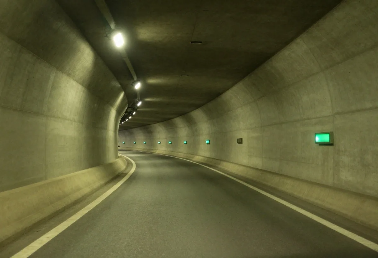
Given the mountainous landscape, Austria operates hundreds of highway tunnels equipped with automated safety systems. Modern tunnels feature dual unidirectional bores, thermal scanners at entry portals to detect overheated truck engines, continuous video surveillance, and pressurized emergency escape passages spaced every 250 to 500 meters.
When driving inside Austrian tunnels, headlights must remain turned on, radio receivers tuned to traffic frequencies (Ö3 on FM), and drivers must maintain a minimum safety distance of 50 meters from the vehicle ahead.
Hitradio Ö3 (FM)
Automated override for tunnel evacuation alerts.
50m Distance Rule
Compulsory minimum spacing under subterranean transit.
Urban junctions and metropolitan bypass rings
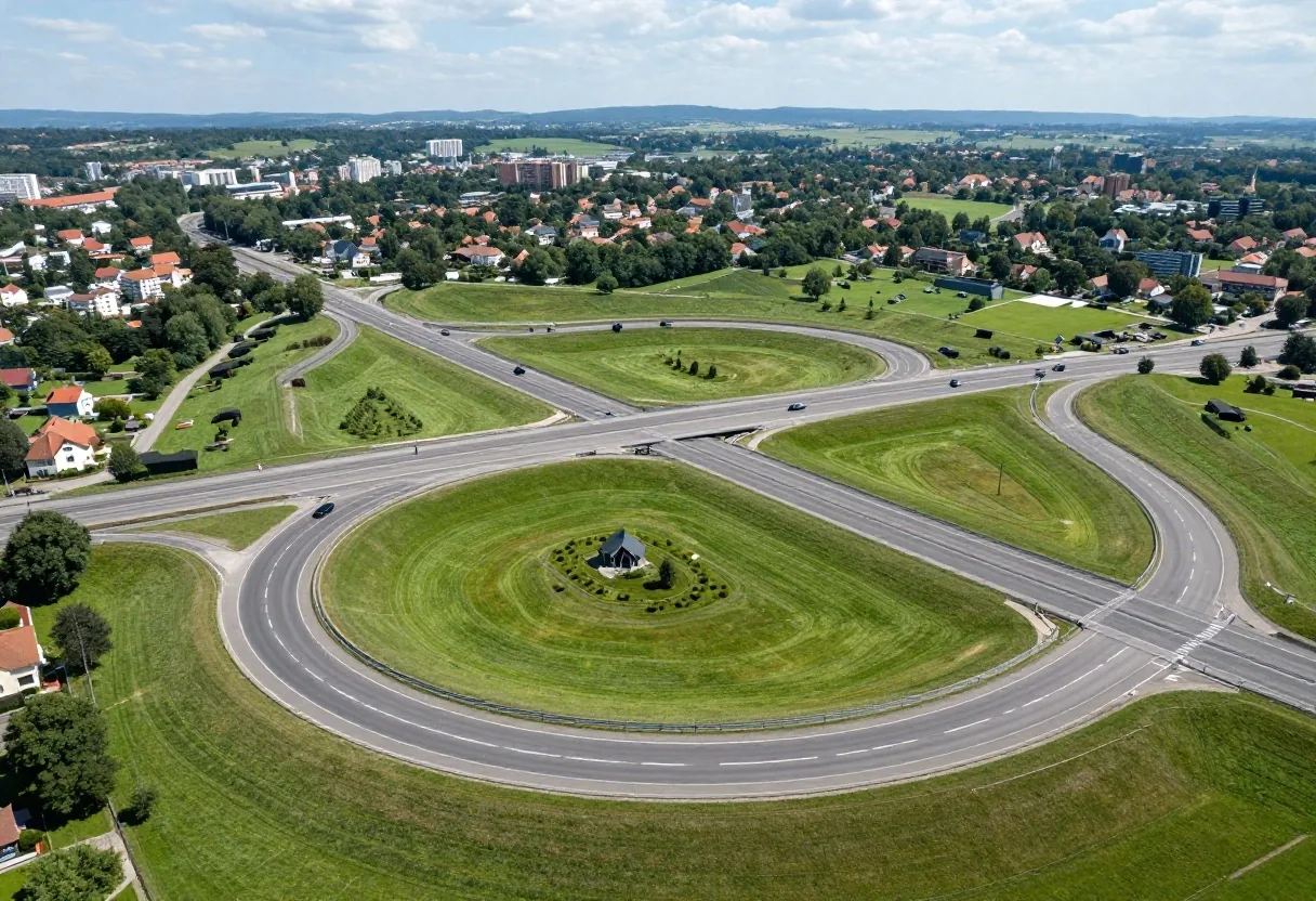
Major Austrian cities utilize integrated ring roads to keep transit traffic out of central city centers. Vienna relies on the S1 Vienna Ring Expressway and the A21 Wiener Außenring Autobahn, which connects the A1 at Steinhäusl with the A2 at Vösendorf, diverting international freight around the Vienna basin.
Linz uses the A7 Mühlkreis Autobahn and the newly developed A26 Westring bypass. Navigating these multi-lane junctions requires selecting your designated lane early, as lane dividers often turn solid well before exit splits.
Critical truck diversion routing transiting freight between Hungary, Slovakia, and Germany.
Essential connection bridging the Danube between Upper Austria and the Czech Republic border (S10).
Motorway service areas and Raststation amenities
Strategically spaced intervals along federal corridors ensure uninterrupted vehicle servicing and driver fatigue mitigation.
Raststationen
Raststationen feature 24-hour fuel pumps, electric vehicle fast chargers, restaurants, and clean pay-to-use restrooms managed by operators such as Rosenberger, Landzeit, and ASFINAG.
- Ultra-fast EV charging plazas (up to 350 kW DC charging).
- Sanitary restroom facilities (Sanifair voucher return system).
- Full sit-down and express regional dining options.
Parkplätze & Rastanlagen
The smaller Parkplätze provide monitored lighting, emergency phones, picnic tables, and automated restroom facilities. Sleeping in passenger vehicles overnight at rest stops is strictly restricted to temporary fatigue recovery; open camping setups are illegal.
- Direct emergency SOS phone links to ASFINAG traffic control.
- Regular maintenance and automated sanitation servicing.
- Overnight camping (tents, caravans parked for recreation) prohibited.
Frequently asked transit questions
Essential rules for navigating Austria's motorways and high-capacity corridors.