
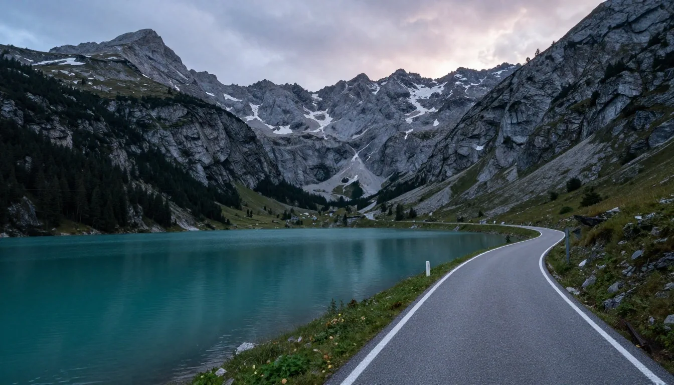
Discover scenic driving itineraries across Austria's alpine landscapes
Austria offers some of the most captivating driving routes in Central Europe, connecting UNESCO World Heritage cultural sites, crystal-clear glacial lakes, dramatic limestone peaks, and ancient wine regions. Traveling away from high-speed Autobahnen reveals winding provincial roads that showcase the country's architectural and natural heritage.
The Wachau Valley Danube route: vineyards and fortress ruins
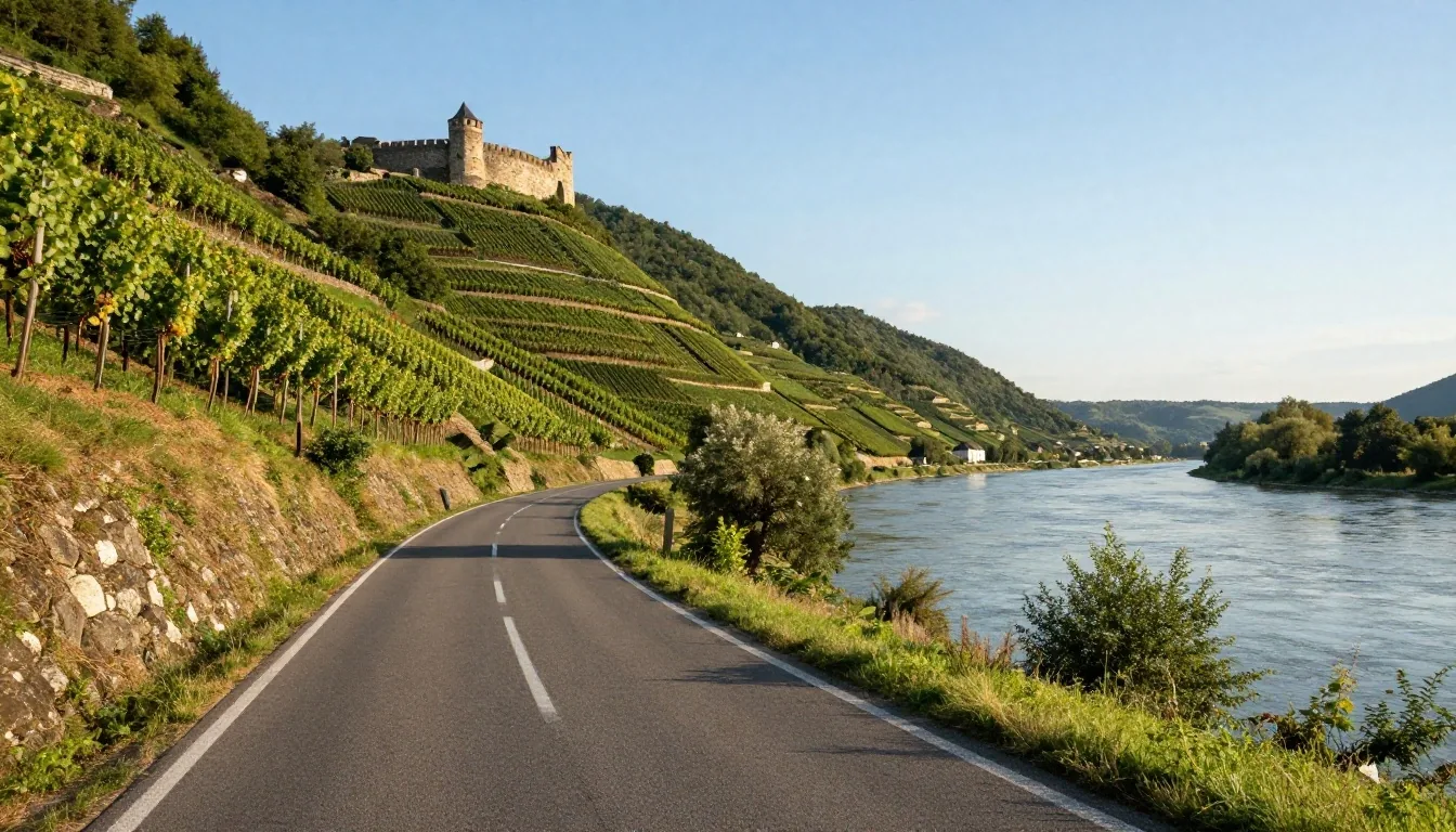
Stretching roughly forty kilometers along the Danube River between Melk and Krems in Lower Austria, the Wachau Valley is an exceptional cultural landscape. Route B3 hugs the northern riverbank, passing sun-drenched terraced vineyards, traditional apricot orchards, and historic river villages like Spitz, Weissenkirchen, and Dürnstein, where King Richard the Lionheart was once held captive.
Motorists can cross the Danube using seasonal car roll-on ferries at Spitz or St. Lorenz. The driving is relaxed and level, offering easy access to roadside wine taverns (Heurige) and panoramic monastery overlooks at Stift Melk and Stift Göttweig.
The Salzkammergut Lakes circuit: water and limestone
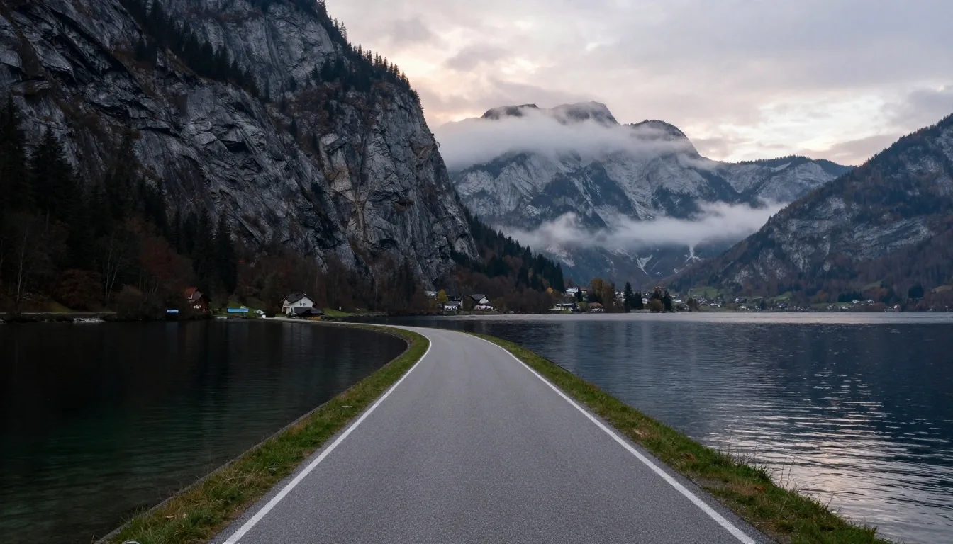
Located east of Salzburg across parts of Upper Austria, Salzburg province, and Styria, the Salzkammergut region encompasses over seventy alpine lakes framed by the dramatic Dachstein massif. A premier driving loop begins in Salzburg, follows the B158 past Lake Fuschl to St. Wolfgang, and traces the perimeter of the Wolfgangsee.
Continue southward past the historic imperial spa town of Bad Ischl to the Hallstätter See and the village of Hallstatt. The roads are well-maintained but narrow, with restricted lakefront parking requiring early arrivals during summer months. VigneteRey provides real-time route alignment with local municipal access bylaws.
The Grossglockner route: ascending to the rooftop of Austria
For drivers seeking technical mountain touring, the Grossglockner High Alpine Road between Fusch in Salzburg and Heiligenblut in Carinthia remains the ultimate Austrian driving experience.
Ascending through distinct vegetation zones from subalpine meadows to barren glacial moraines, the road climbs through 36 hairpin bends to the Edelweißspitze overlook at