
How VigneteRey verifies Austrian highway data and corridor updates
Navigating international motorways and alpine mountain passes requires accurate, up-to-date road information. VigneteRey operates as an independent editorial desk based in Vienna, committed to providing motorists with reliable route planning frameworks, regulatory explanations, and alpine corridor overviews. We do not rely on unverified user forums or automated translation scrapers.
Daily snow clearance and seasonal opening tracker
Exact physical highway transition points audited
Federal legal texts audited before publishing
Weekly cadence during autumn and spring shifts
Independent editorial governance and objective analysis
VigneteRey operates without financial backing or operational ties to official toll agencies, road construction concessionaires, or commercial navigation software developers. Our editorial team, located at Kärntner Straße 12 in Vienna, approaches Austrian transit from the perspective of independent motorists navigating complex foreign highway rules.
This complete operational independence guarantees that our guides highlight unexpected toll costs, mandatory equipment thresholds, regional detours, and transit limitations without promotional bias or commercial deflection. We do not sell proprietary transponders or endorse particular fueling plazas; every recommendation serves the safe, legal transit of independent cross-border drivers.
Autonomous reporting unencumbered by concessionaire marketing mandates.
Local editors examining Austrian federal transit directives at source.

Primary source verification with federal infrastructure authorities
Every road guide, corridor analysis, and speed framework on VigneteRey is cross-referenced directly against official Austrian federal publications. We routinely review updates from ASFINAG (Autobahnen- und Schnellstraßen-Finanzierungs-Aktiengesellschaft), the Austrian Federal Ministry for Climate Action, Environment, Energy, Mobility, Innovation and Technology (BMK), and the Austrian Federal Police (Bundespolizei). When speed limit frameworks or environmental laws like the IG-L undergo legislative adjustments, we verify the underlying legal gazette (Bundesgesetzblatt) before updating our text.
ASFINAG Infrastructure
We track toll plaza configurations, digital toll lane designations, tunnel refurbishments, and major motorway construction schedules directly from the national infrastructure concessionaire.
BMK Federal Gazette
Price index adjustments to the Mautordnung, environmental exemption rules for zero-emission vehicles, and federal transit bans are confirmed in the official Bundesgesetzblatt prior to publication.
Bundespolizei Traffic Rulings
Direct monitoring of police enforcement advisories, spot checkpoint methodologies at alpine border gateways, and temporary transit bypass closures during peak winter and holiday intervals.
Monitoring seasonal pass accessibility and elevation data
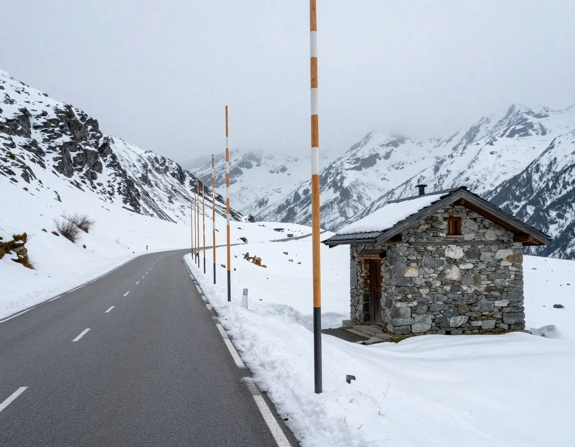
Alpine mountain passes present dynamic navigational challenges due to winter closures, spring snow clearing, and summer rockfall maintenance. Our desk maintains a structured monitoring schedule covering over twenty prominent Austrian mountain passes from Vorarlberg to Carinthia.
We verify opening dates, daily operational hours, and vehicle dimension restrictions against updates published by provincial road management offices (Landesbaudirektionen) and private pass operating companies, ensuring cross-border travelers receive realistic transit forecasts. Rather than accepting rough seasonal estimates, we document daily opening windows and physical vehicle length limits for high-clearance routes like the Großglockner High Alpine Road, Timmelsjoch, and Silvretta High Alpine Road.
Tracking toll and vignette regulatory revisions
Austrian toll regulations change annually. The federal government regularly updates vignette pricing based on the consumer price index, modifies digital vignette activation timelines, and adjusts Streckenmaut section charges.
Our editorial staff tracks these updates directly through parliamentary gazettes and ASFINAG announcements. We clearly differentiate between standard motorway vignette requirements and separate special toll sections (Streckenmaut) such as the A9 Pyhrn, A10 Tauern, A11 Karawanken, A13 Brenner, and S16 Arlberg tunnel routes. This prevents drivers from assuming an ordinary vignette covers all mountain crossings.
- Consumer price index adjustments verified within 24 hours of federal gazette publication.
- Immediate 18-day consumer protection delay rules clarified for private digital vignette buyers.
- Exact boundaries where Streckenmaut segments supersede vignette obligations clearly mapped.
Winter equipment mandate and seasonal compliance checks
Austrian winter driving safety relies on strict seasonal equipment mandates. We audit our winter driving content every autumn prior to the November 1 situational winter tire mandate.
Our verification process confirms tire tread depth requirements (4 mm radial / 5 mm diagonal), M+S/3PMSF certification criteria, and regional snow chain bylaws enforced by provincial district authorities (Bezirkshauptmannschaften). We also monitor changes in automobile club recommendations from ÖAMTC and ARBÖ to provide practical guidance.
- Strict verification of 4 mm radial tread depth requirements vs. standard 1.6 mm summer limits.
- Signage recognition guidelines for mandatory snow chain zones (circular blue sign with tire chains).
- Legal liabilities and insurance implications under winter road conditions explicitly detailed.
Cross-border transit and Schengen checkpoint reviews
Cross-border transit between Austria and its eight neighboring countries involves varying toll regimes, environmental sticker rules, and spot border checkpoints. Our editorial team documents exact junction layouts where Austrian vignettes become mandatory after crossing from Germany, Italy, Switzerland, the Czech Republic, Slovakia, Hungary, or Slovenia.
We outline physical road signs, lane markings, and border service plaza layouts so international drivers can transition safely between national highway systems without facing border toll fines.
Covering Suben (A8), Walserberg (A1), Kiefersfelden (A12), Hörbranz (A14), Arnoldstein (A2), and Spielfeld (A9).
Speed limit structures and environmental corridor monitoring
Austria's speed framework is more nuanced than simple default limits. We continuously track variable matrix speed zones, night-time speed reductions for heavy vehicles, and environmental speed restrictions (IG-L 100 km/h) across Tyrol, Salzburg, and Styria.
Enacted under the Immissionsschutzgesetz-Luft. Fines exceed standard speeding penalties. We track automated camera matrices and specific exemptions for foreign-registered battery-electric vehicles bearing official green registration markings.
Automated average speed tracking across extended highway tunnels including the Plabutschtunnel (A9) and Kaisermühlen (A22). We clearly note start and exit detection points.
Night-time speed reductions enforced on sections of the A10, A12, A13, and A14 to limit mountain noise emissions for alpine communities.
Route planning distance calibration and time buffer formulas
GPS systems frequently generate over-optimistic transit estimates through alpine terrain by assuming vehicles can maintain posted limits through steep hairpins and narrow passes. Our route planning guides incorporate practical calibration formulas based on terrain elevation, heavy vehicle density, and seasonal holiday traffic patterns. By providing realistic travel time buffers for major transit corridors like the A10 Tauern and A13 Brenner, we help travelers build dependable travel schedules.
| Alpine Corridor | Commercial GPS Estimate | VigneteRey Calibrated Transit | Key Terrain Variance Factors |
|---|---|---|---|
| A10 Tauern Corridor (Salzburg to Villach) | 1 hr 45 min (at 100-130 km/h) | 2 hr 25 min +40 min buffer | Single-bore safety pacing, heavy summer motorhome convoys, toll booth metering at St. Michael. |
| A13 Brenner Pass (Innsbruck to Brennerbad) | 35 min (at 100 km/h) | 55 min +20 min buffer | Continuous freight block clearances (Blockabfertigung), steep Europa Bridge ascents, Schönberg toll queues. |
| Großglockner High Alpine Road (Fusch to Heiligenblut) | 1 hr 10 min (at theoretical 50 km/h) | 2 hr 15 min +65 min buffer | 36 hairpin switchbacks, 12% sustained gradients, engine cooling pauses, mandatory cyclist passing margins. |
| Arlberg S16 Transit Corridor (Tirol to Vorarlberg) | 45 min (at 80 km/h) | 1 hr 10 min +25 min buffer | 14 km single-bore tunnel ventilation cycles, thermal scanner delays at St. Anton entrance portals. |
*Calibration factors are recalculated before peak Austrian holiday weekends (Ascension, Pentecost, summer turnaround Saturdays).
User feedback auditing and local roadwork corroboration
We encourage motorists to submit field observations regarding unexpected detours, revised toll plaza lane configurations, or confusing road signs via our contact desk. Every submitted report undergoes editorial verification against provincial roadwork databases (Baustelleninformationssysteme) before any modification is introduced to our published guides.
We do not publish unverified user comments or uncorroborated road reports. Every field report must match official ASFINAG maintenance contracts or district traffic management orders before our maps and route logs are updated.
Verification Flow for Motorist Reports:
- 1. Field intake logged by editorial desk at Kärntner Straße 12.
- 2. Cross-check with ASFINAG traffic camera telemetry and Baustellen GIS databases.
- 3. Verification with local Landesbaudirektion or provincial police bulletins.
- 4. Editorial update deployed with verified date tag.
Content lifecycle, archiving, and revision frequency
Road networks and transport regulations evolve continuously. VigneteRey conducts systematic bi-monthly content reviews across all core navigation pages, with accelerated weekly audits during peak seasonal transition windows in late autumn and late spring.
Outdated detours, temporary construction notices, and expired seasonal regulations are promptly excised or archived, ensuring our readers interact solely with accurate, actionable information. We maintain a rigorous revision history to eliminate obsolete detours from past seasons.
Seasonal Revision Intervals:
Frequently asked questions regarding our road methodology
How our Vienna editorial team guarantees neutrality, verifies official Austrian highway updates, and processes route observations.
Is VigneteRey affiliated with ASFINAG or the Austrian Federal Government?
How quickly are toll price adjustments reflected on your website?
How do you verify whether an alpine mountain pass has reopened in spring?
Can motorists submit route corrections or roadwork observations?
Need specific Austrian corridor data or roadwork verification?
Reach out directly to our editorial team on Kärntner Straße in Vienna. We provide verified regulatory context, pass updates, and independent routing insights for cross-border travelers.